Featured News
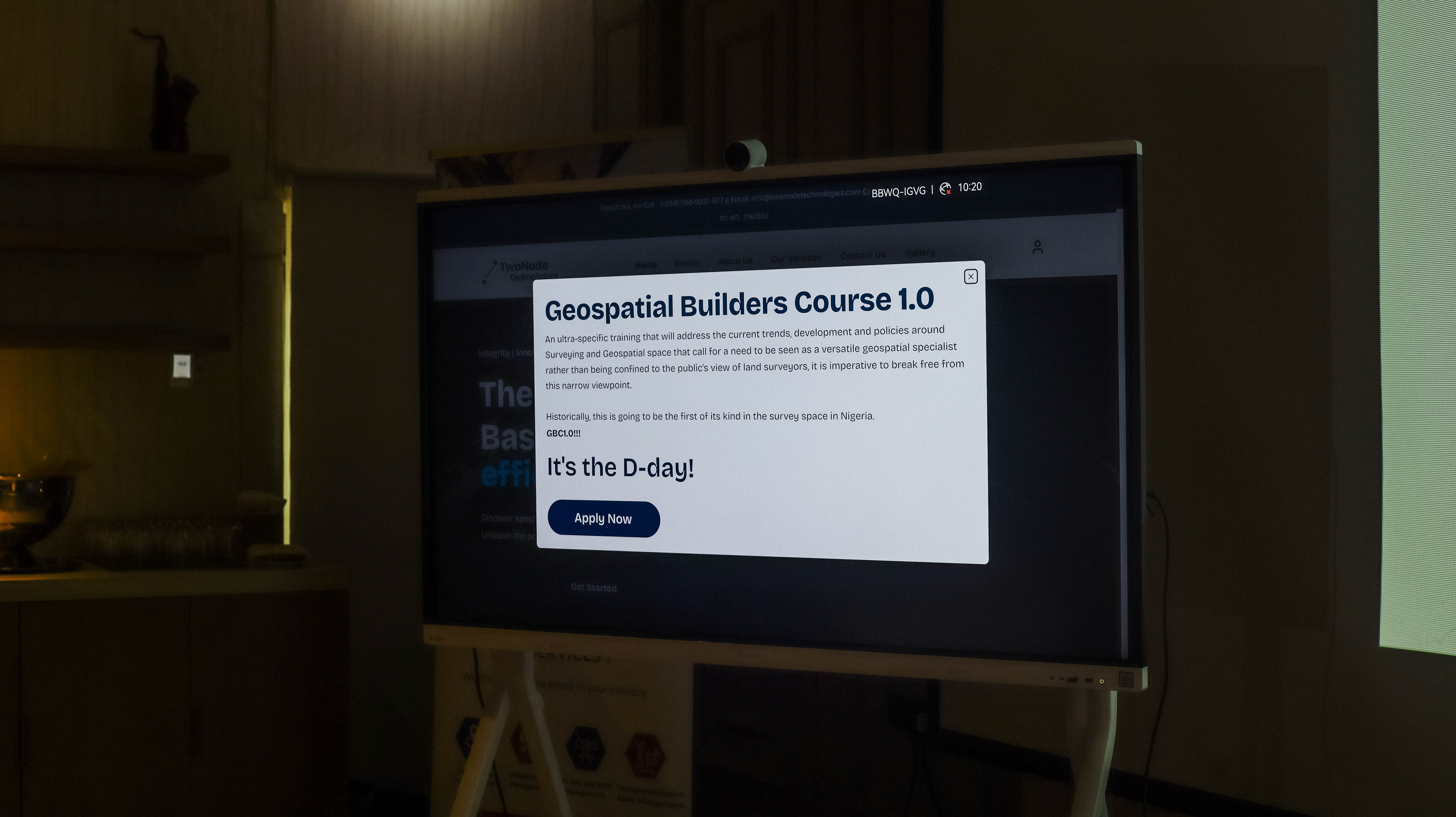
GBC 1.0: Demystifying GIS for Surveyors
The Geospatial Builders Course (GBC) is a program dedicated to fostering geospatial capacity-building across industries. This maiden edition, themed "Demystifying GIS for Surveyors," brought together surveyors and geospatial enthusiasts for a day of learning, innovation, and connection.

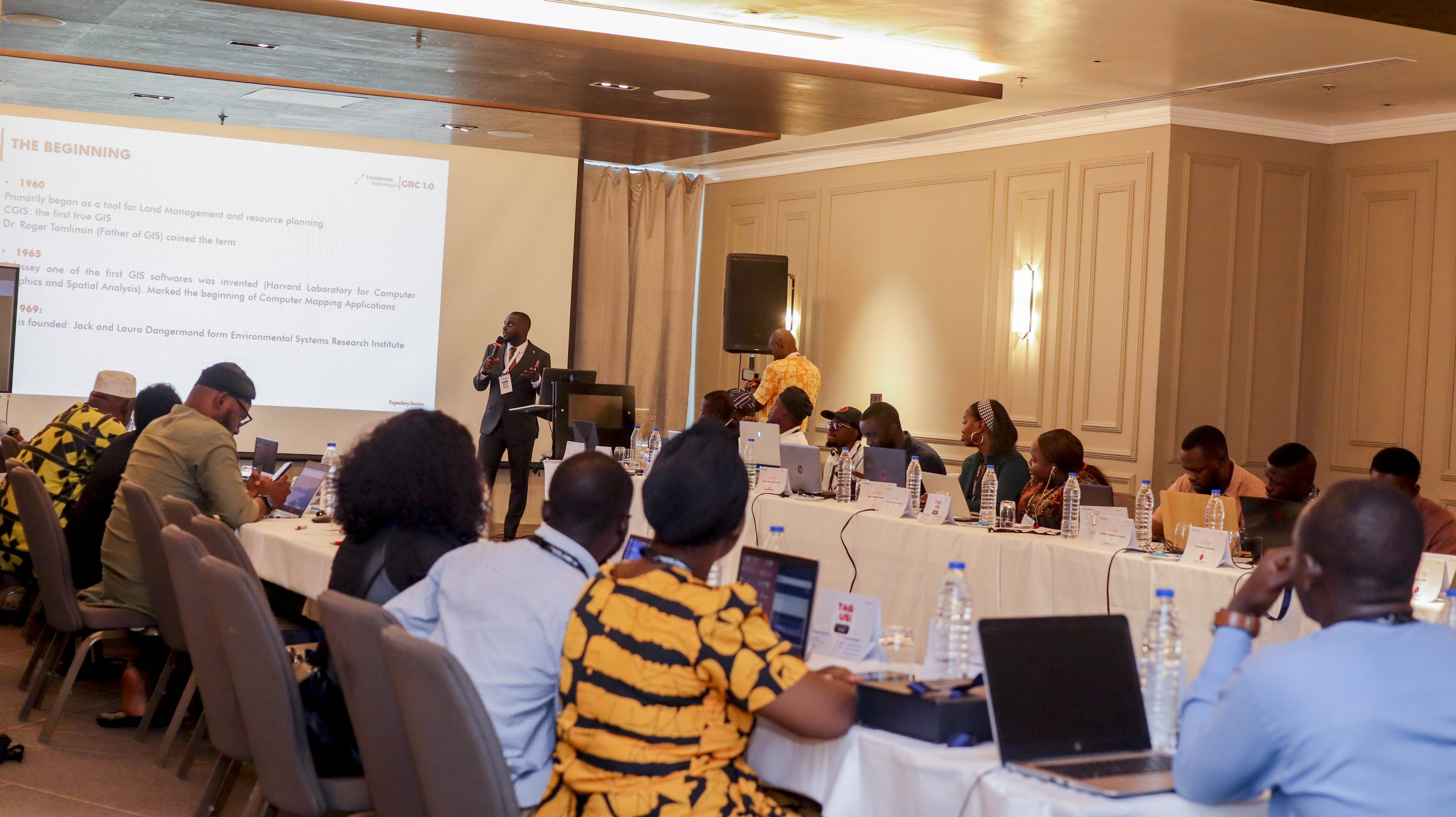
Expository Session: A Journey Through GIS
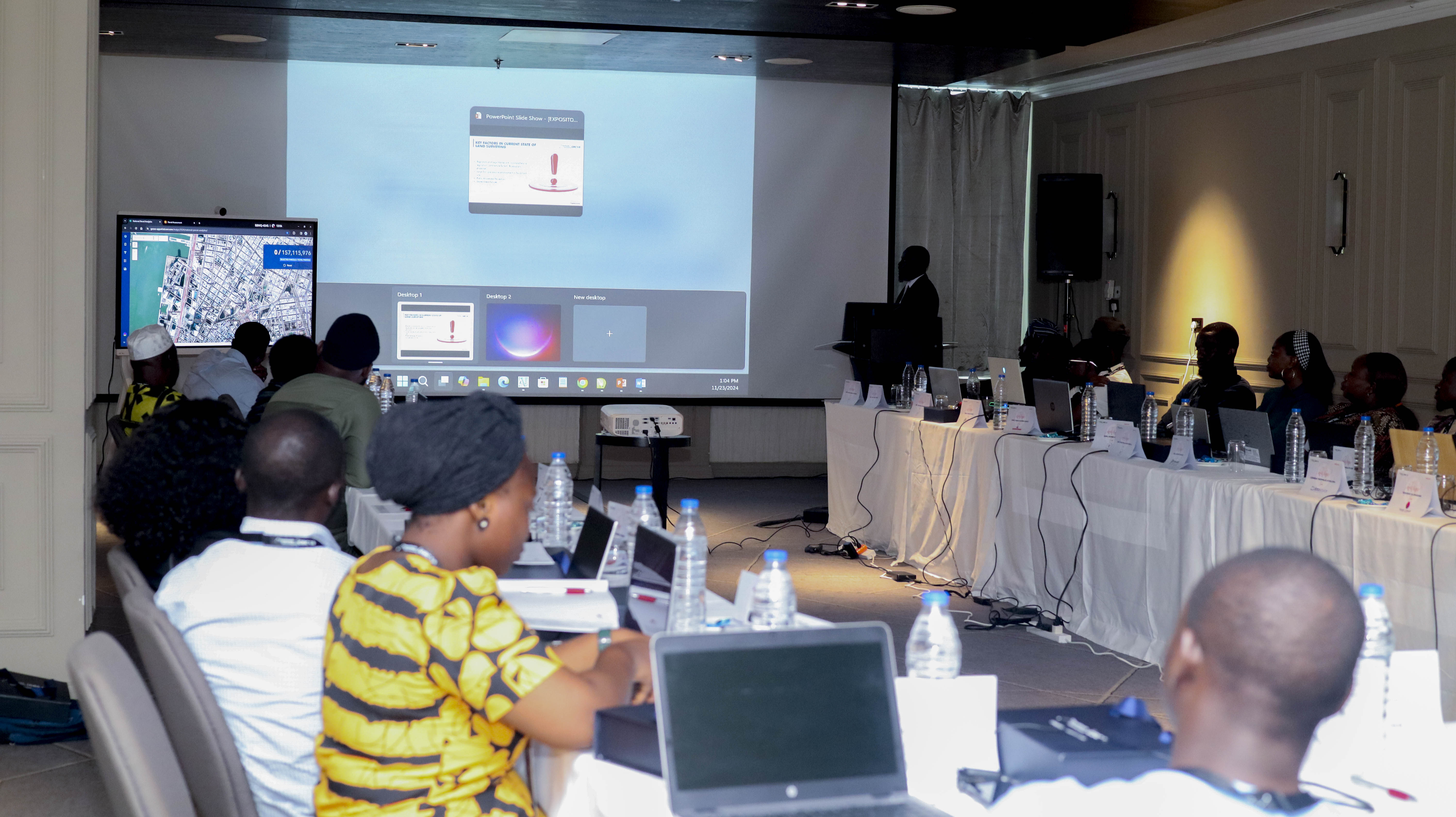
The Expository Session kicked off with an exploration of the rich history and evolution of GIS, tracing its humble beginnings to its present status as a transformative powerhouse. Attendees were introduced to the latest GIS trends and inspired by the story of the resilient surveyor—a professional who adapts, innovates, and thrives by leveraging GIS to confront challenges and deliver actionable insights.
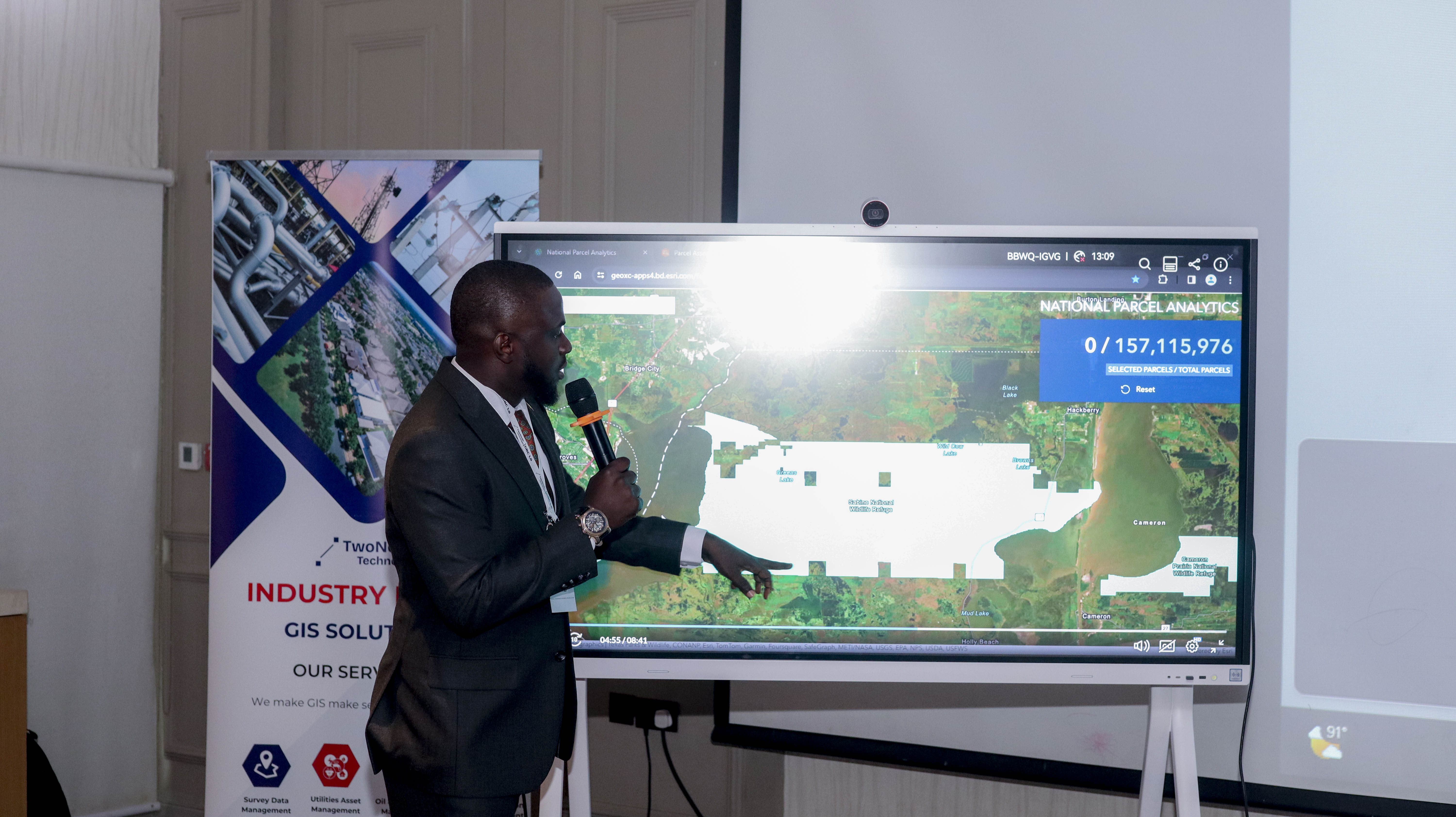
A pivotal moment was an inspiring video from ESRI FedGIS 2024 featuring Jess Altamira, which showcased the incredible potential of big data analytics in GIS. The session demonstrated how GIS is revolutionizing the surveying profession, enabling surveyors to:
- Analyze millions of parcels across the U.S.
- Conduct real-time analyses on a national scale.
- Empower land conservation and ownership initiatives.
💡 Key Takeaway: GIS equips surveyors with the tools to make smarter, faster decisions at scale, transforming the way we understand and interact with the world.


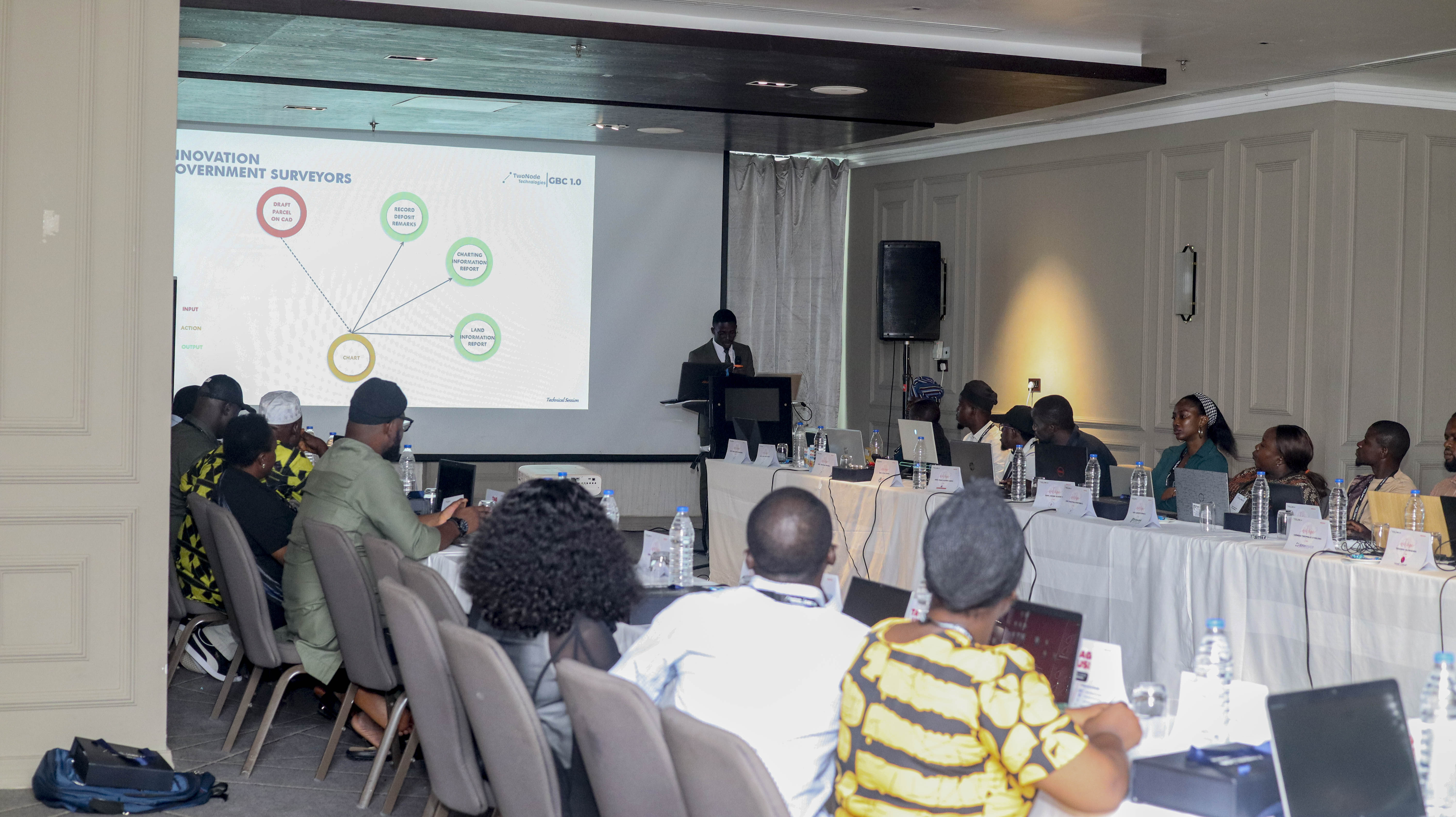
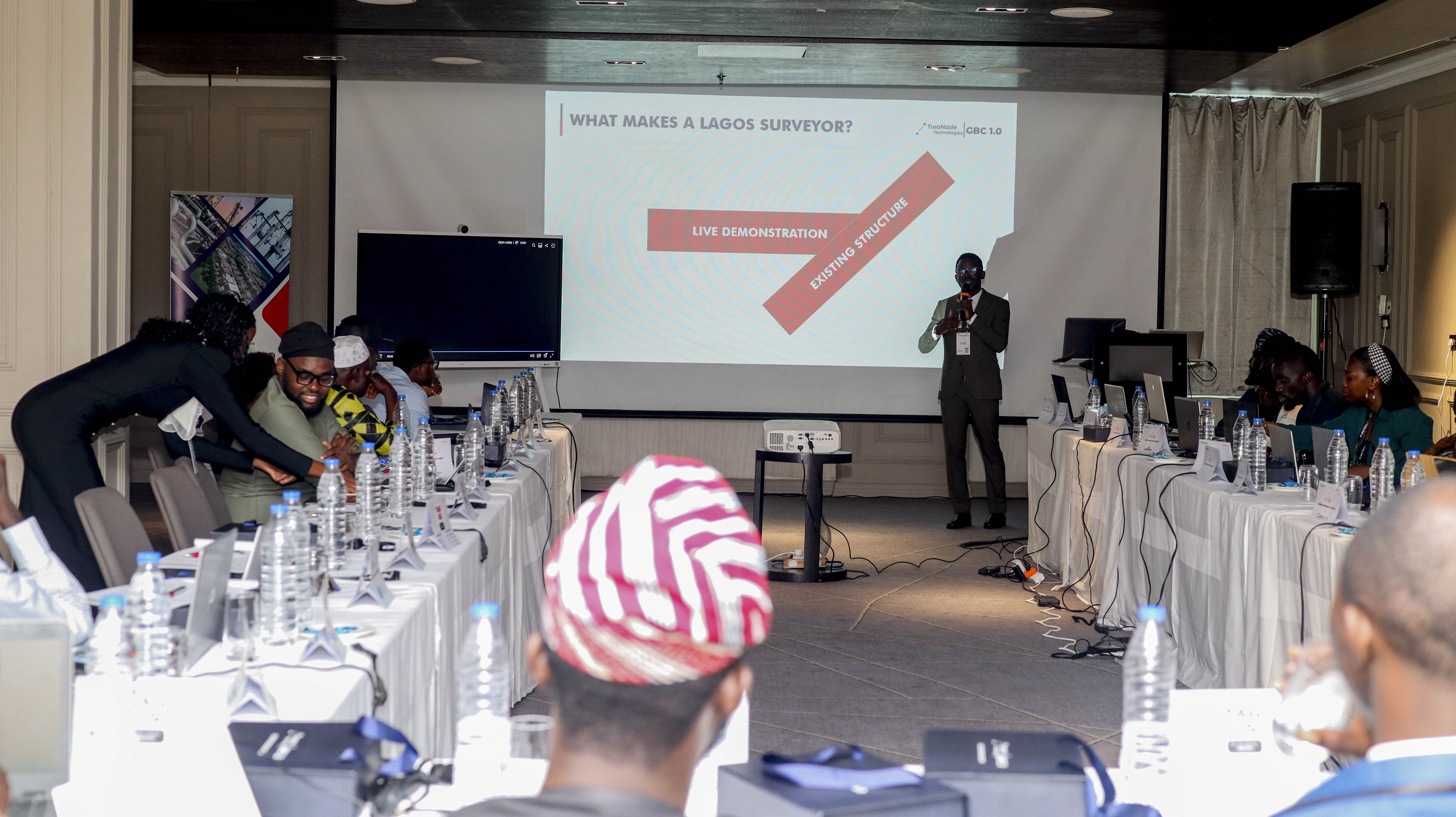
Technical Session: Building the Future of Surveying
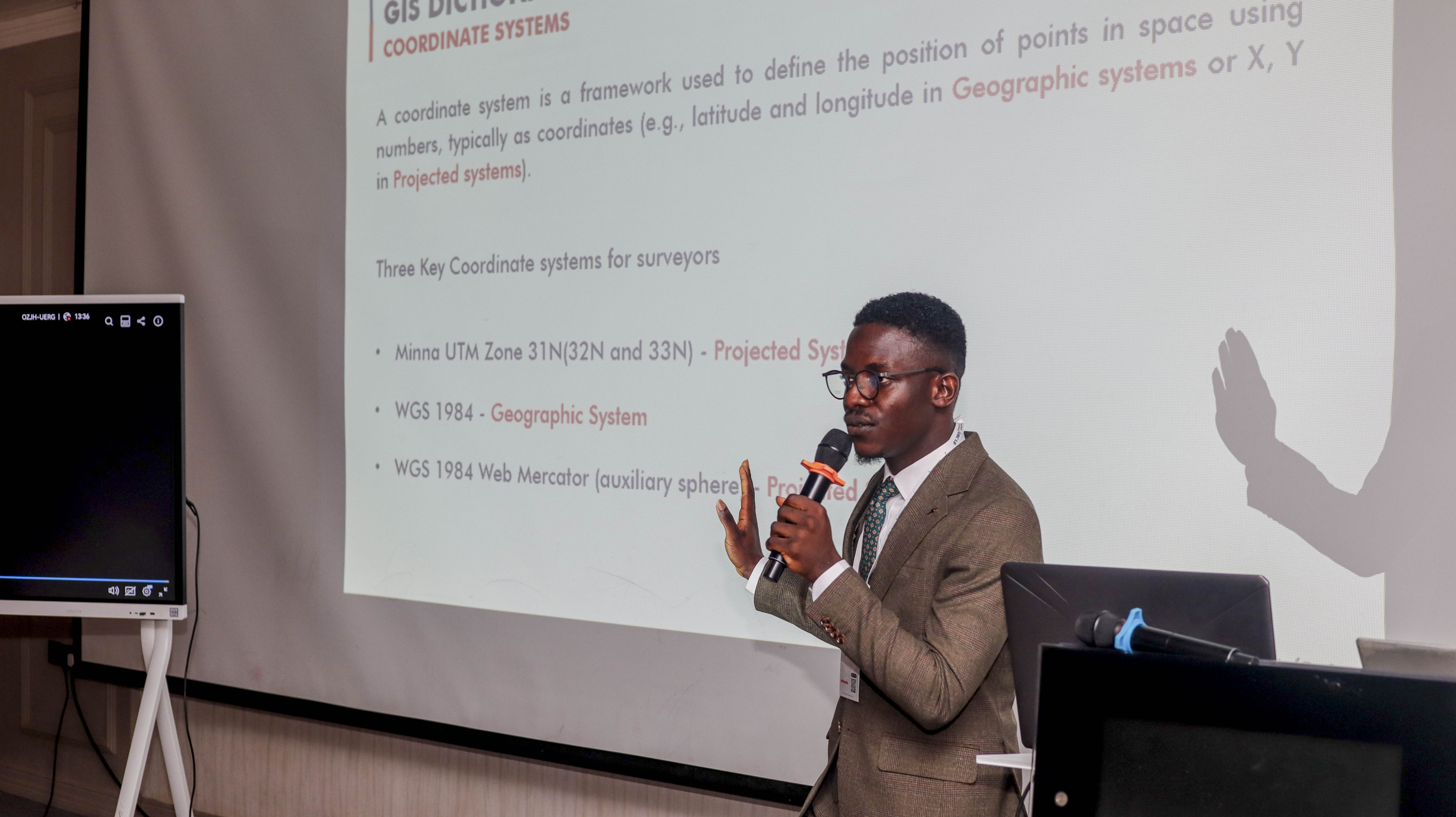
The Technical Session was a masterclass in redefining the future of surveying and geospatial innovation. It started with the basics—delving into the GIS Dictionary and Coordinate Systems to establish a common language.
For Government Surveyors
- Demonstrated how simple processes like drafting could generate vital reports, including Certificates of Deposit and Land Information Reports.
- Highlighted how survey plans should align with state frameworks for greater accuracy and utility.
For Private Surveyors
- Emphasized the untapped potential of archived survey plans as historical records of land use and ownership.
- Encouraged surveyors to evolve beyond legal practice into value-added service providers, driving innovation in land management.


💻 Hands-On Practical
Participants used ArcGIS Pro to access real-world datasets from Victoria Garden City Estate, Lekki. Key activities included:
- Extracting parcels and transforming vertices into points.
- Creating relationship classes to link parcels and vertices.
- Developing a web application to query properties by size, street, or ownership.
💡 Key Takeaway: This exercise showcased how survey drawings can become dynamic databases, revolutionizing property searches and enabling smarter decision-making.


😜 Fun Moments and Networking
The day wasn’t all work! Attendees enjoyed engaging fun moments, building connections, and sharing ideas that promise to shape the future of surveying and geospatial technology.


© 2025 TwoNode Technologies. All rights reserved.